Bauma Halls of Ivy
Learn from the experienced and learning is a constant process of discovery- a process without end.
In order to be a successful entrepreneur, one should learn from the failures of others also. We are here to help you with the lessons learned from our own experiences and also based on the case studies. We will nurture and nourish you with the fundamentals of geology and mining as well on the environmental implications and mitigation measures for the sustainable growth of any business.

1. Geological Databases and Desktop studies
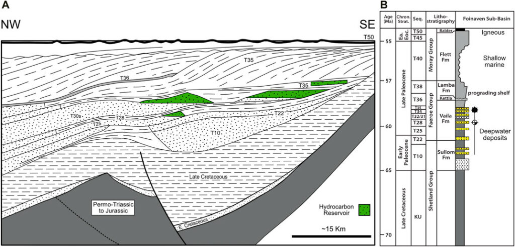
At Bauma EMC, we understand that geological data is one of your most valuable assets. Our services in geological database development and desktop studies ensure that this data is not only collected and preserved, but also turned into meaningful insights that drive strategic exploration and development decisions.
Geological Data Management Services
We focus on the systematic handling of geological and spatial data across the entire data lifecycle:
- Data Collection & Standardization
- Validation & Quality Control of Geological Records
- Database Structuring & Digital Storage
- GIS-Based Spatial Data Integration
- Data Security & Backup Protocols
A well-maintained and secure geological database helps reduce duplication of effort, improves collaboration across teams, and ensures regulatory compliance and reporting accuracy.
Desktop Study Services
Desktop studies involve the compilation, interpretation, and evaluation of all existing geological, geochemical, geophysical, environmental, and historical exploration data available for a specific area. These studies help in:
- Identifying High-Potential Target Zones
- Understanding the Geological Context Before Field Work
- Minimizing Risk and Maximizing Cost Efficiency
- Supporting Tenement Applications and Investment Decisions
This method is an essential risk mitigation and decision-making tool used at early stages of mineral exploration and mine development projects.
2. Geological Fieldwork
At Bauma EMC, we believe that accurate and insightful geological fieldwork is the bedrock of any successful exploration or mining project. Field-based observations and measurements provide irreplaceable data that cannot be replicated in the lab or desktop studies.
We train professionals and conduct field programs that involve practical application of geological tools and methodologies to collect high-quality data from the natural environment.
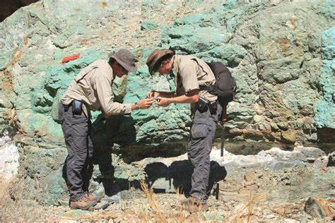
Key Field Activities Include:
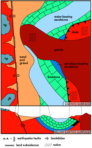
🧭 Geological Field Mapping
Geological mapping is the foundation of all geoscience work. It involves observing, recording, and interpreting rock formations and structures in the field. High-quality geological maps form the basis for all subsequent resource evaluations, modeling, and extraction planning.
“The ore body dictates” — a reminder that nature defines the mineral potential, and geological mapping helps us interpret its story.
Our Capabilities in Mapping:
- Measurement of strike, dip, and structural features
- Rock identification and logging
- Lithological boundary demarcation
- Use of GPS, compass, and field notebooks
- Digital field mapping with GIS integration
🧪 Geochemical Sampling
Geochemical sampling involves the collection and chemical testing of soil, rock, stream sediment, or water samples to evaluate the presence and concentration of specific elements or compounds. The data helps in identifying mineral anomalies and understanding geochemical dispersion patterns.
Sampling Types:
- Rock chip and channel sampling
- Soil and stream sediment sampling
- Water sampling for hydrogeochemical analysis
- Sample location referencing and QA/QC procedures
The goal is to precisely define what’s sampled and its significance, ensuring the data is accurate and actionable.
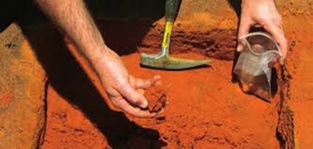
🧱 Bulk & Metallurgical Sampling
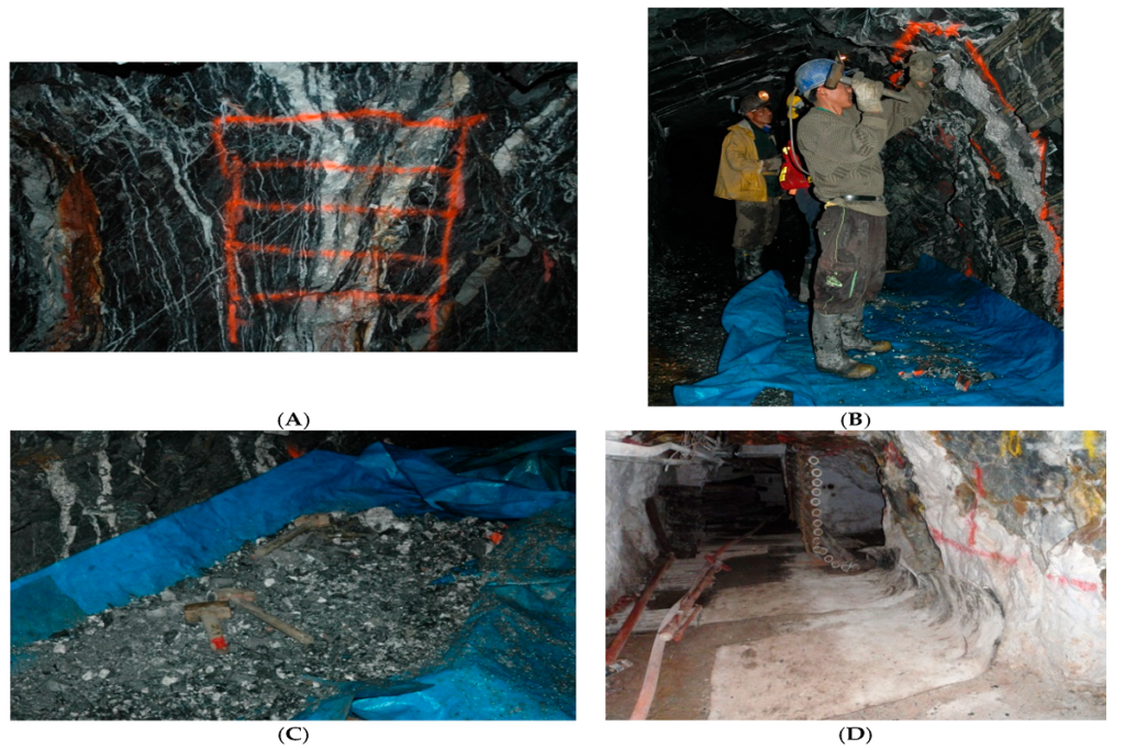
Bulk sampling involves collecting large quantities of material (usually >100 kg) to minimize sampling bias and accurately represent the deposit. These are critical for testing how a mineralized body will behave during processing.
Our Services Include:
- Planning and execution of bulk sampling programs
- Representative sample collection from pits, trenches, or underground workings
- Metallurgical testing for:
- Grindability
- Recovery efficiency
- Mineral liberation
- Tailings behavior
This data feeds directly into process plant design, feasibility studies, and resource/reserve estimation.
Drilling for Geologists
At Bauma EMC, our “Drilling for Geologists” program provides in-depth knowledge of drilling operations, from planning and execution to core logging and sample analysis. This course is designed for geologists, mining professionals, and exploration teams aiming to improve their understanding of subsurface investigation and data acquisition through drilling.
🔍 Course Overview
Drilling is a critical phase in geological exploration. It allows us to gather direct subsurface information and extract samples that are essential for resource estimation, structural modeling, and feasibility analysis.
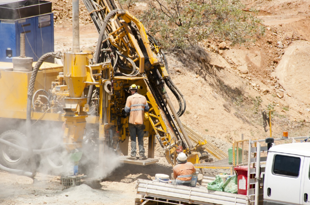
Participants will learn:
- How to plan and position drill holes based on surface geology and mapping
- Different drilling types, methods, and techniques
- How to manage logistics and operations of a drilling program
- Core handling and storage best practices
- Accurate geological and geotechnical logging of samples
🧪 Logging & Sampling Techniques
The course covers detailed procedures for logging and sampling of various types of drill material:
- Core Drilling Samples (Diamond Drilling)
- RQD and recovery logging
- Lithological and mineralogical description
- Structural features and alteration analysis
- RC Drilling Samples
- Sample splitting and compositing
- Grade estimation and contamination control
- Percussion & Auger Chips
- Shallow-depth sampling and application
Participants will also learn proper sampling protocols, QA/QC procedures, and how to ensure data integrity for resource modeling.
🛠️ Common Drilling Methods Covered
- Diamond Drilling / Core Drilling
High-accuracy sampling for structural, mineralogical, and geotechnical data - Reverse Circulation (RC) Drilling
Cost-effective method for grade control and rapid exploration - Auger Drilling
Shallow-depth sampling, ideal for soft sediments or regolith zones
4. ESA and EIA Preparation
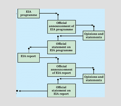
Bauma EMC offers specialized training on how to effectively prepare Environmental Site Assessment (ESA) and Environmental Impact Assessment (EIA) reports. These assessments are essential components of environmental compliance and sustainable project planning across mining, construction, and industrial sectors.
🌱 Course Objective
This training provides participants with a step-by-step understanding of the ESA and EIA processes, from site reconnaissance and data collection to final report preparation. The course ensures that environmental professionals, engineers, and project managers can contribute to or lead regulatory submissions with confidence.
📋 What You Will Learn
- Introduction to ESA (Phase I & Phase II)
- Regulatory framework and scope
- Site history evaluation
- Identifying Recognized Environmental Conditions (RECs)
- Sampling and laboratory data requirements
- Environmental Impact Assessment (EIA)
- Legislative and procedural background
- Screening and scoping studies
- Baseline environmental studies (air, water, soil, ecology, noise)
- Stakeholder consultation and public hearing essentials
- Environmental Management Plan (EMP) development
- Risk analysis and mitigation strategies
- Field Work & Data Collection
- What to observe and document during site visits
- Tools and techniques for collecting baseline data
- Common data gaps and how to address them
📚 Course Benefits
- Learn from experienced environmental consultants
- Understand how to align reports with local and national regulatory requirements
- Gain practical insight into report formatting, technical writing, and review protocols
- Enhance your skills in baseline data interpretation and impact analysis
Whether you’re looking to upskill your in-house EHS team or are a consultant preparing for regulatory clearance processes, this training equips you with the practical knowledge to prepare credible and compliant ESA & EIA reports.
